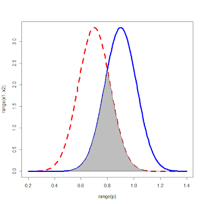
If we have regions that are unnamed, the Farming guide would instead of cities and regions show the world map, updated by selecting crops. We would calculate the bell curve of every world map tile based on its features.
Do you think it would be a bit tedious requiring the user to click on each world map tile to find the ideal region? As you know, there are so many world map tiles.
I would like to learn about the current map generator capabilities. for example, it seems to be able to simulate plains, hills, mountains, lakes, oceans? can we adjust amounts of oceans, because at the moment it looks rather inverse to what it should be.
Yes, I believe that it is possible to adjust amounts of oceans, as the dev team told me that it is a fairly standard fractal map generator. But in the CES DLC, the player can only found a city on a world map tile that mostly comprises of plains. So when there is too much ocean, there will be fewer tiles to select from for founding new cities.
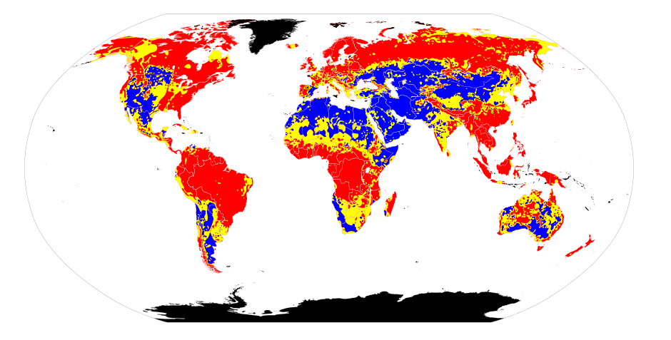
Accoding to the next image, it looks like soil acidity correlates with certain biomes, like dry hot/desert zones are more likely to be alcaline, forested regions and wetlants are more acidic.
Do the amounts of nitrogen (N), phosphorus (P), and potassium (K) in the soil needed to be taken into account in the simulation?
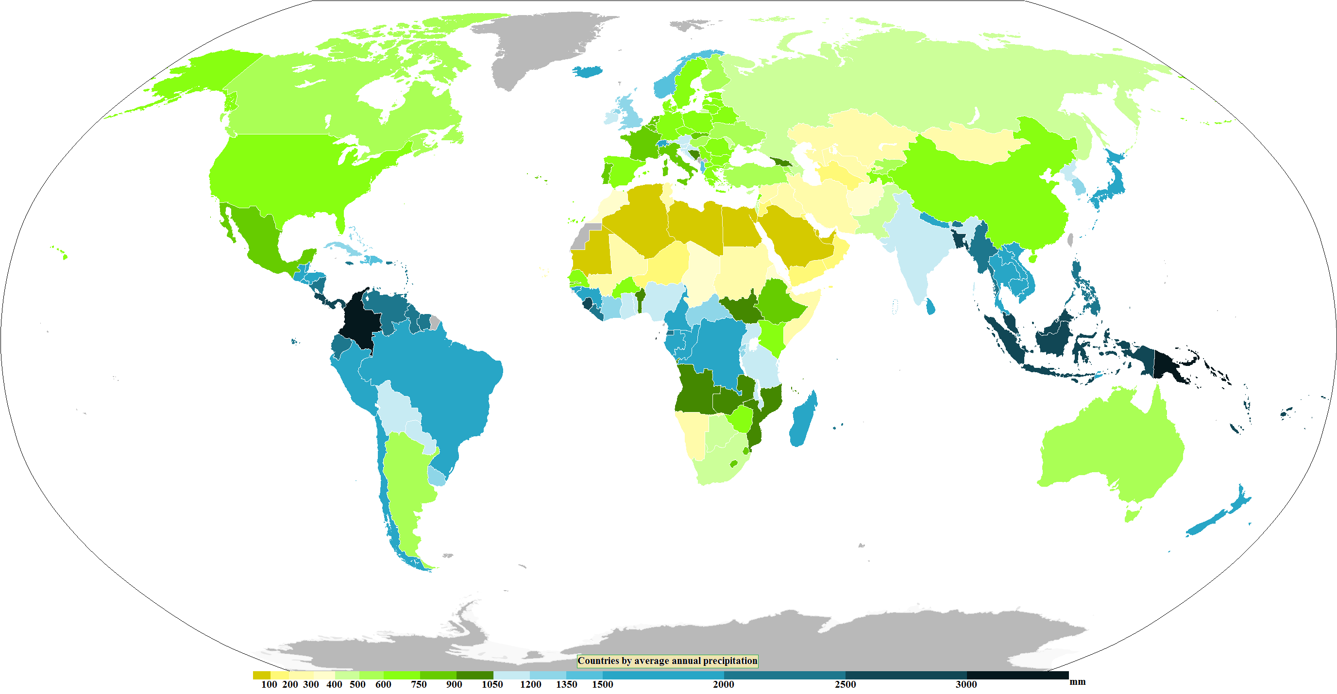
Precipitation (rainfall) is stronger around the aequator and lower in the deserts biomes, higher near mountains when closer to oceans.
How about rainfall distribution throughout the year? For instance, in a Mediterranean climate, the summer is dry. In a tropical climate, there is lots of rainfall in the summer. Does this have to be simulated in the game? If so, how should the data be presented to the player?
Humidity (RH, relative humidity) is mostly a function of rainfall and temperature, but also stronger near water bodies, and because of that fluctuates per year, see some nice represenentation here.
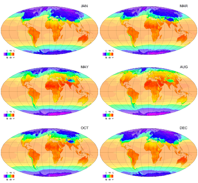
whereas temperature is mostly a function of distance from aequator, month of year and distance to oceans.
I clicked on the link you provided. It is a very nice web-based app.
The world map in CES which is derived from a fractal map, is nothing like a real world map. If we eventually decide to develop this, would you be able to provide more exact implementation details (something that a programmer can understand plainly) as to how a world map tile in the CES DLC can be initialized for all these different weather attributes?
If we use earth as real map, the data can be derived from the usual sources, MetOffice etc. Not sure what the Unity package provides, I am not experienced with Unity enough yet. But in case of random continental climate simulation. I haven't found a good climate simulator online, but this app might help:
http://www.weathergraphics.com/climasim/. Maybe they have an CLI to feed in a continent model and they return you numbers for the clima per month or so.
My view is that a real map will have greater appeal to gamers, but using the current CES world map will be easier to implement.
For a real map, the challenge is not only with obtain the data, but how exactly the UI and the different level of zoom levels should be available to the player. Honestly, I do not have any ideas on all these yet. I am just saying that in general a real world map will be more eye-catching and people can associate it more easily than a random generated map, when the gameplay centers around making the right decisions on planting crops around the world to maximize profits.